The locals are very friendly when there’s food about!

One of many rugged escarpments.

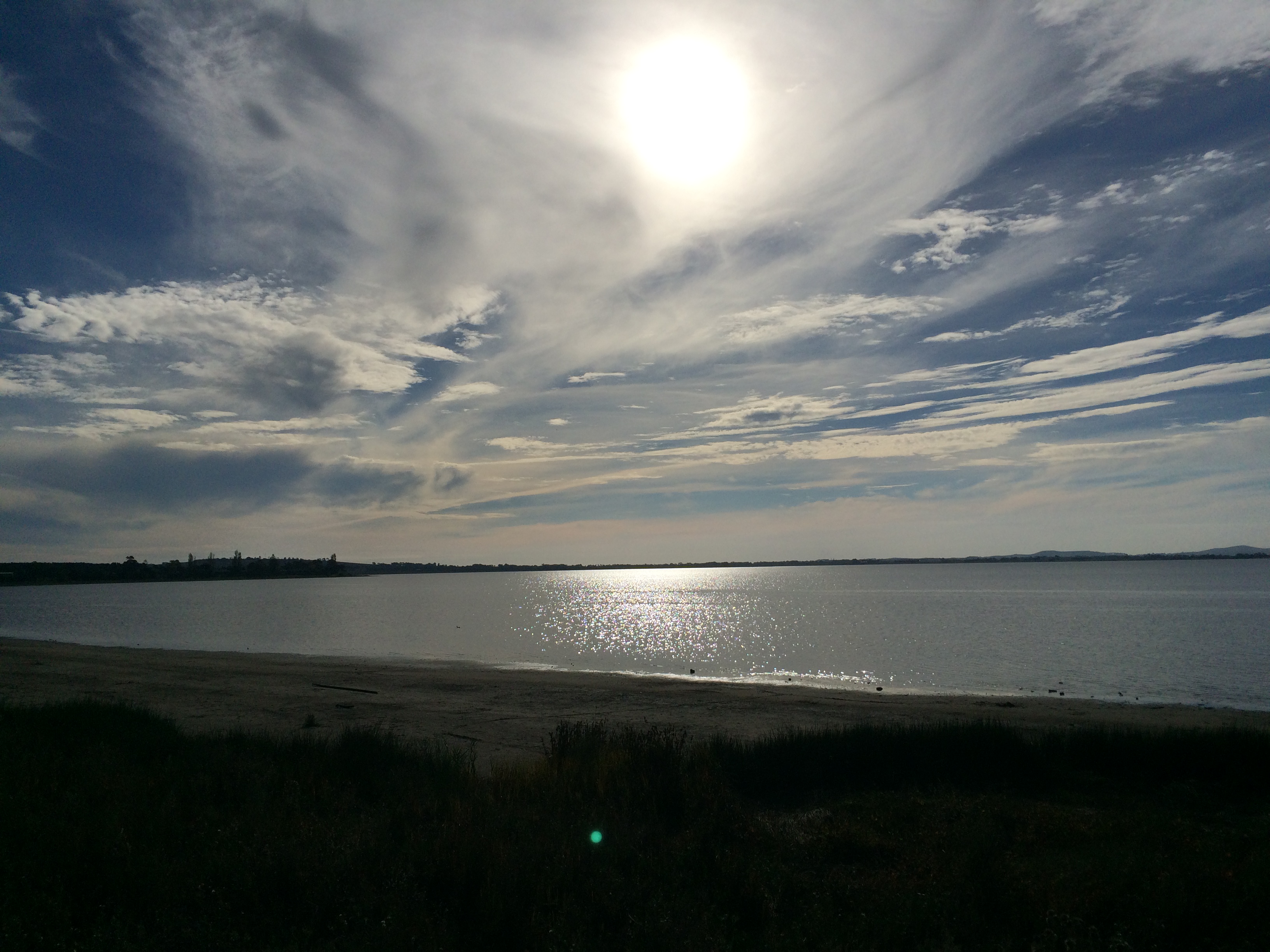
Overlooking Lake Wartook from the road from Halls Gap to Mackenzie Falls.
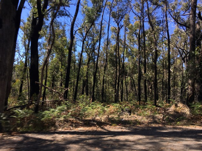
Trees regenerating after devastating bushfires.
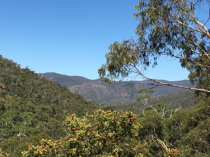
Breathtaking scenery in every direction.
The locals are very friendly when there’s food about!
One of many rugged escarpments.
Overlooking Lake Wartook from the road from Halls Gap to Mackenzie Falls.
Trees regenerating after devastating bushfires.
Breathtaking scenery in every direction.
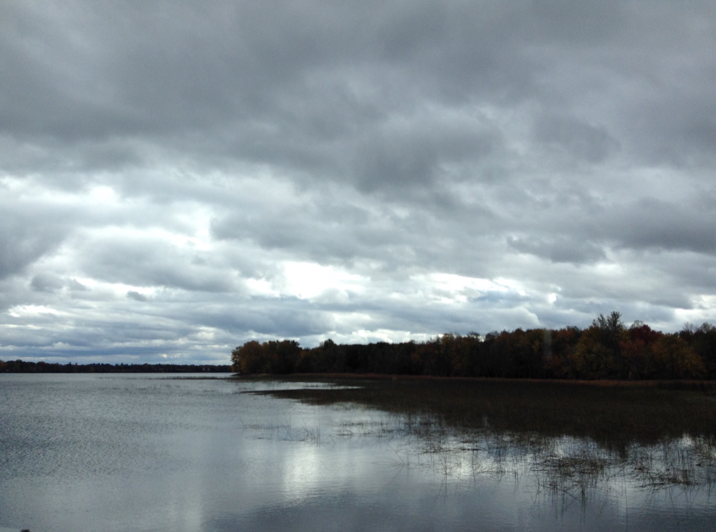
I don’t know about you, but I love a stormy sky and the different qualities it brings to the landscape.
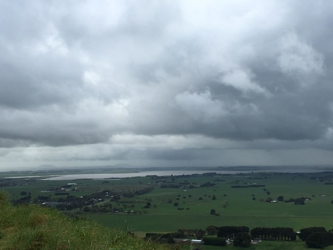
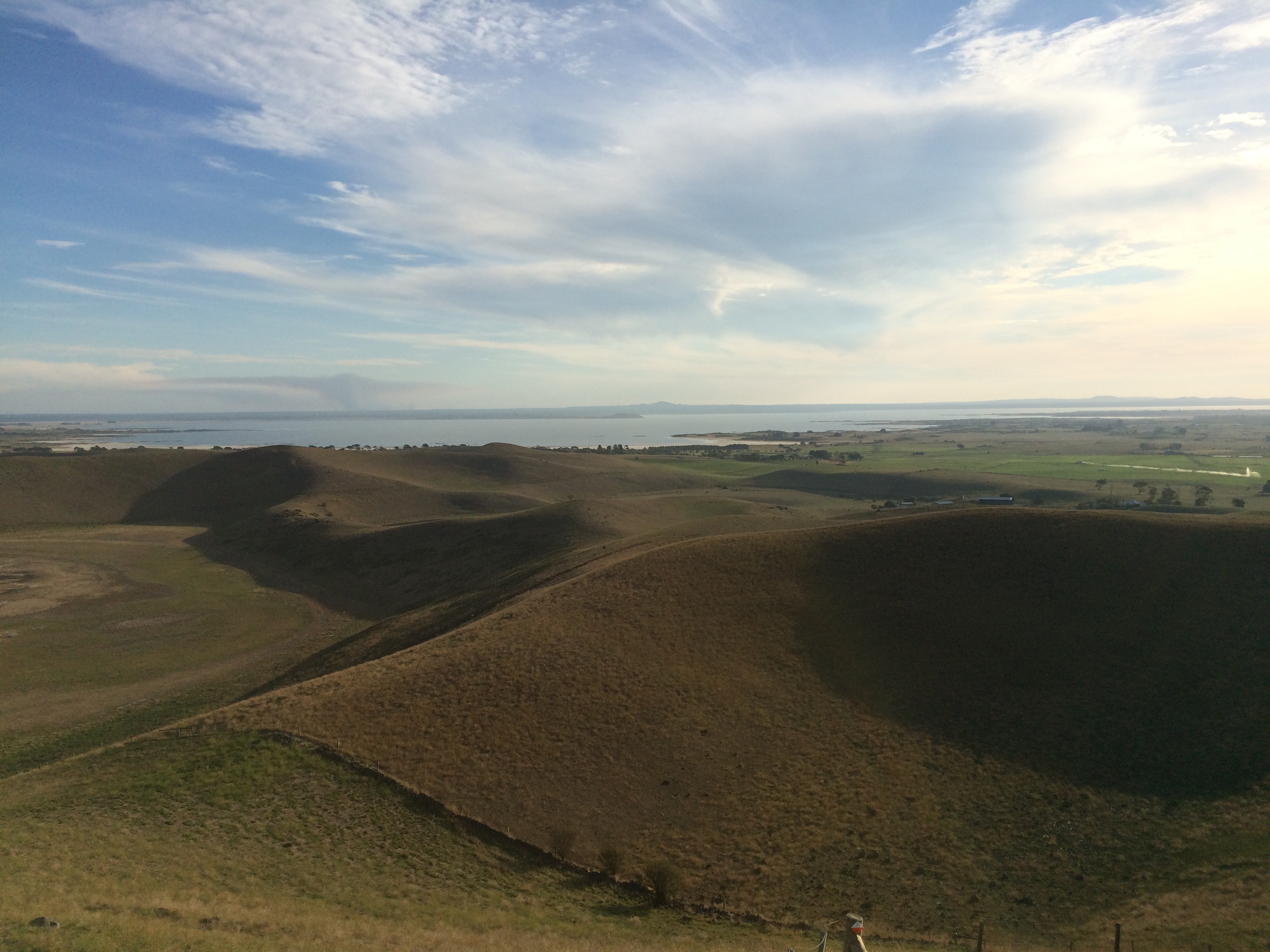
Mt Leura is relatively small for a ‘mountain’, but it does afford a spectacular view of the “lakes and craters” landscape of this dormant volcanic region.

Overlooking Camperdown.
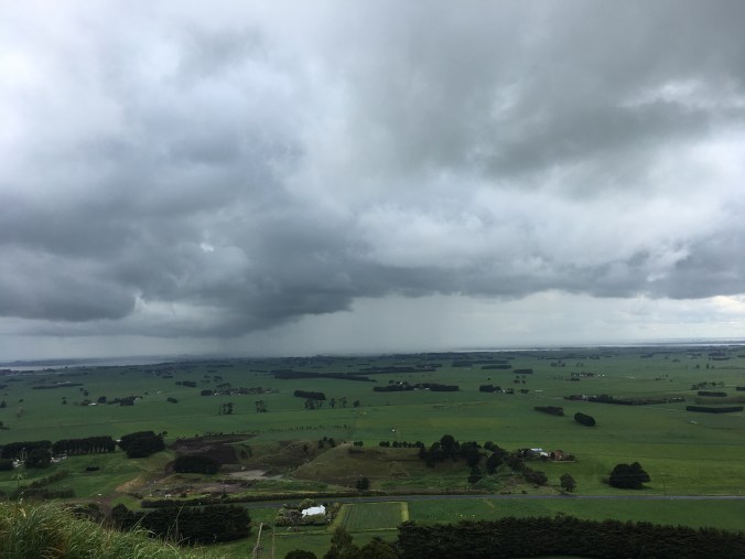
Looking north – the rain is coming!
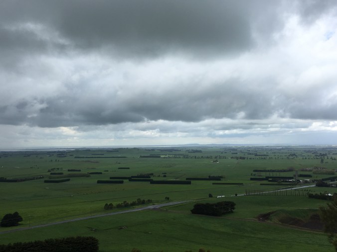
Looking northeast.
Looking east, over Lake Corangamite toward Colac.
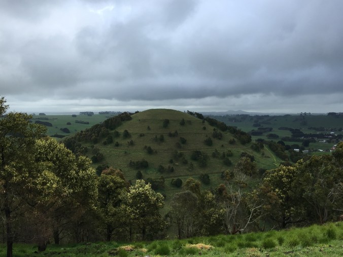
Mt Sugarloaf – a perfectly conical formation nestled beside Mt Leura.
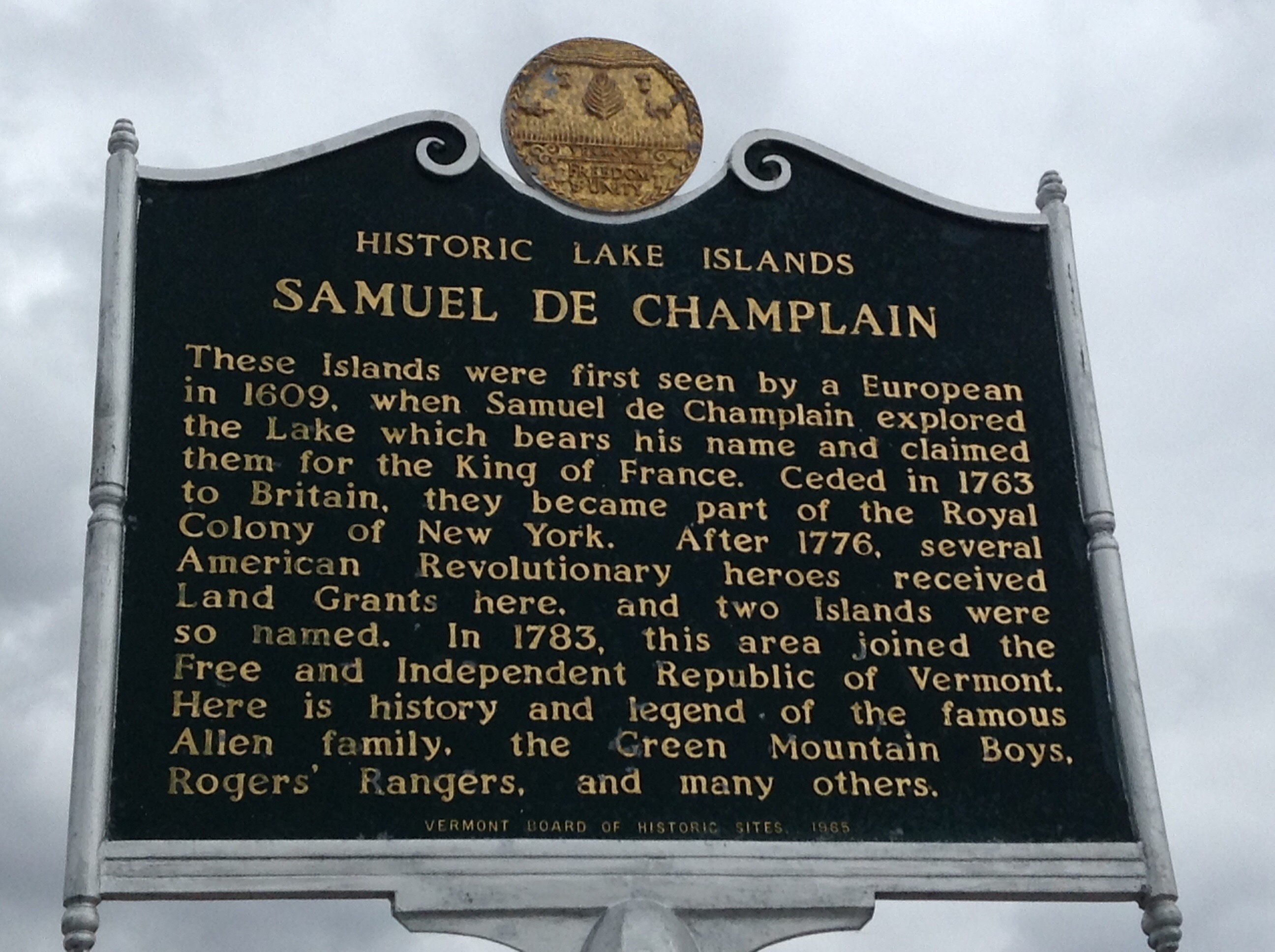
Lake Champlain is North Anerica’s sixth-biggest lake. Within the lake, on the Vermont/New York side of the Canadian border, lie a number of islands that were first seen by European eyes in 1609 when Samuel de Champlain led an exploratory expedition through the area.

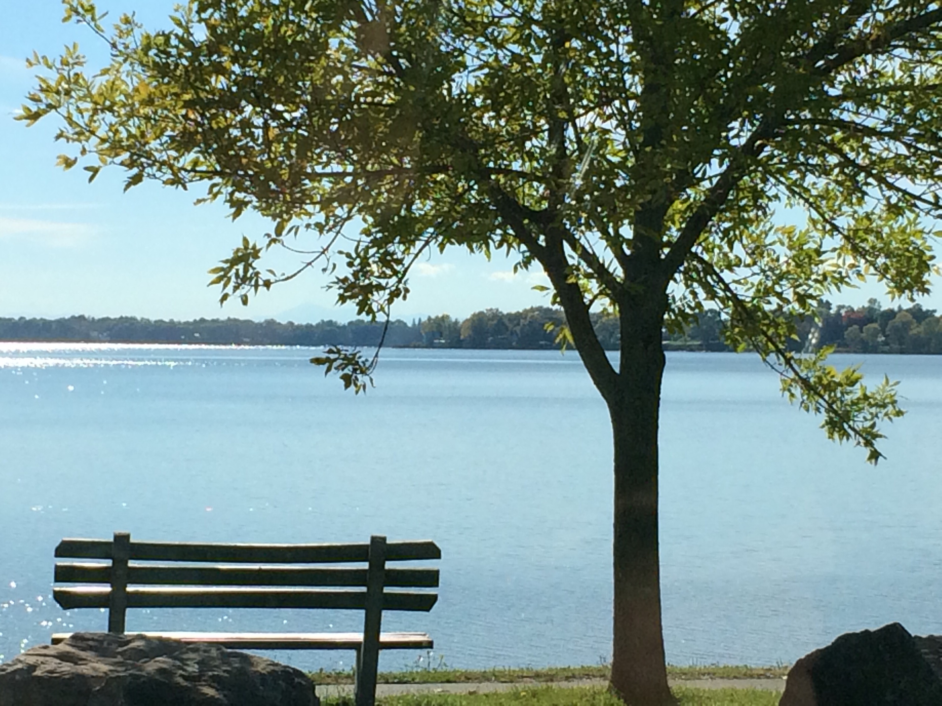
The islands are joined by bridges and a causeway which make touring the islands very easy. The scenery is gorgeous, and there are lots of interesting places to explore. Tourists can explore military history, gourmet food and wine, walking or cycling paths, and number of towns seeking to attract tourists with different places to stay and things to do.
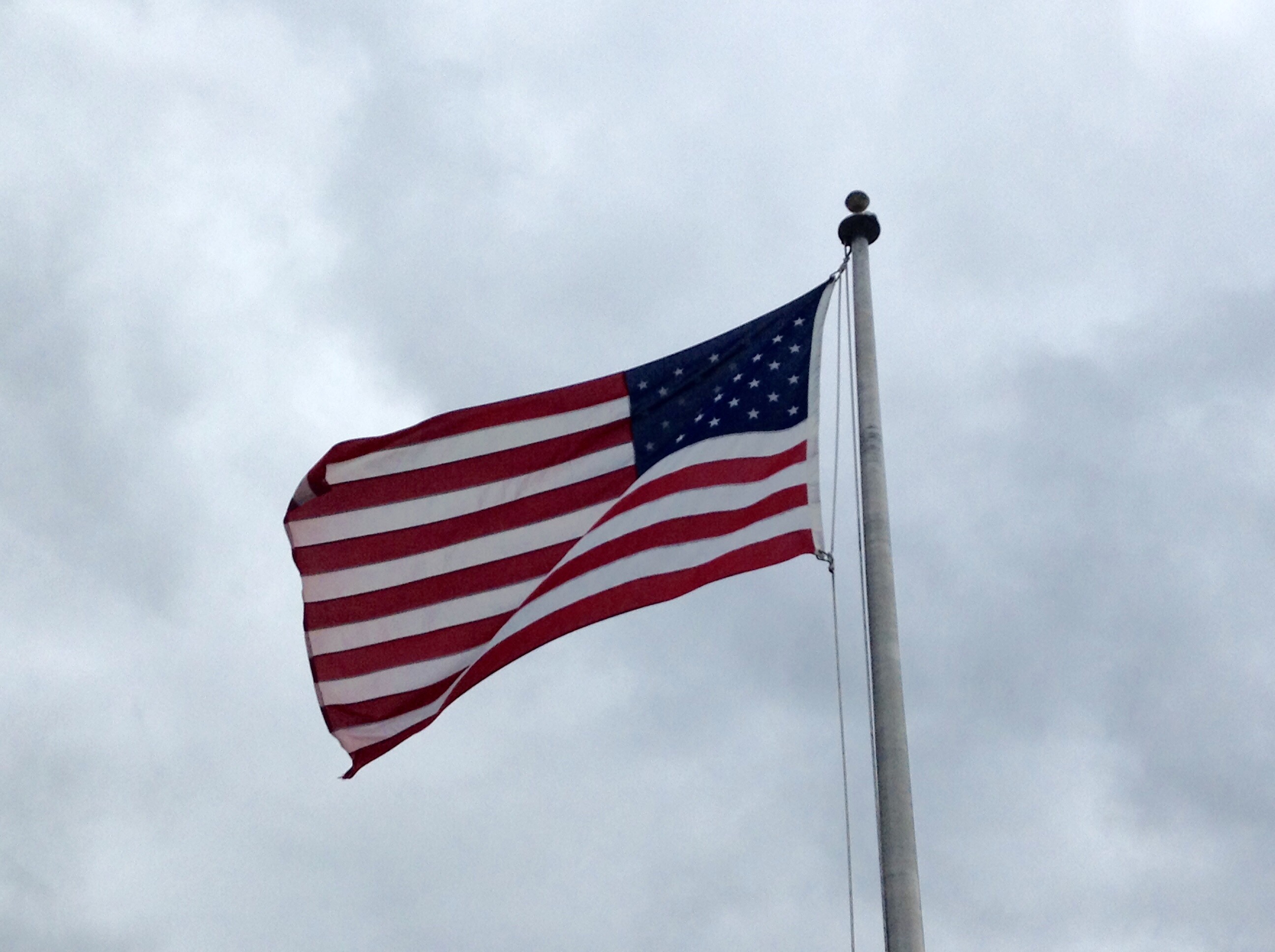
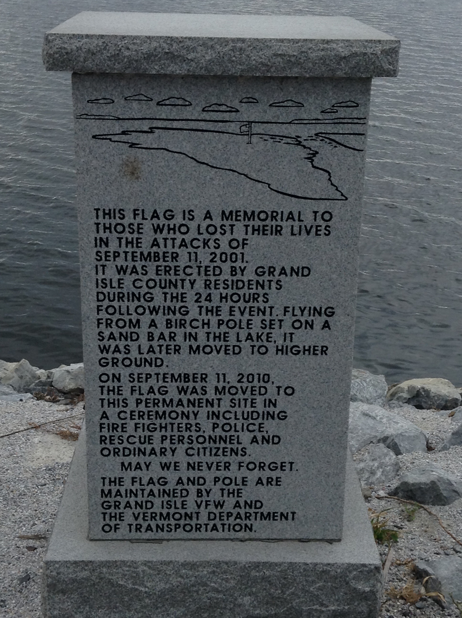
On the Causeway to Grand Isle is an American flag and a monument to the victims of 9/11 and to the American veterans of foreign wars.

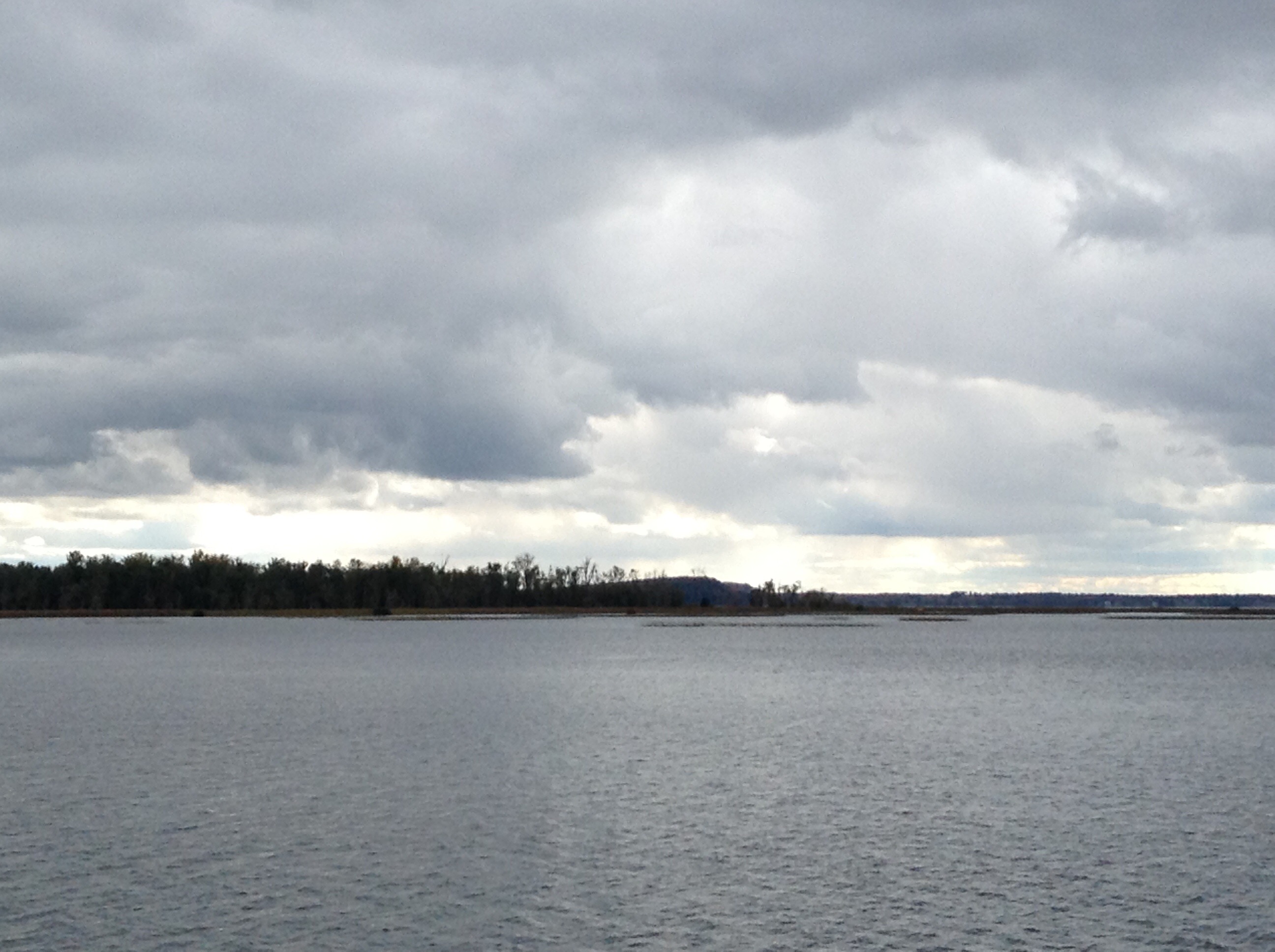
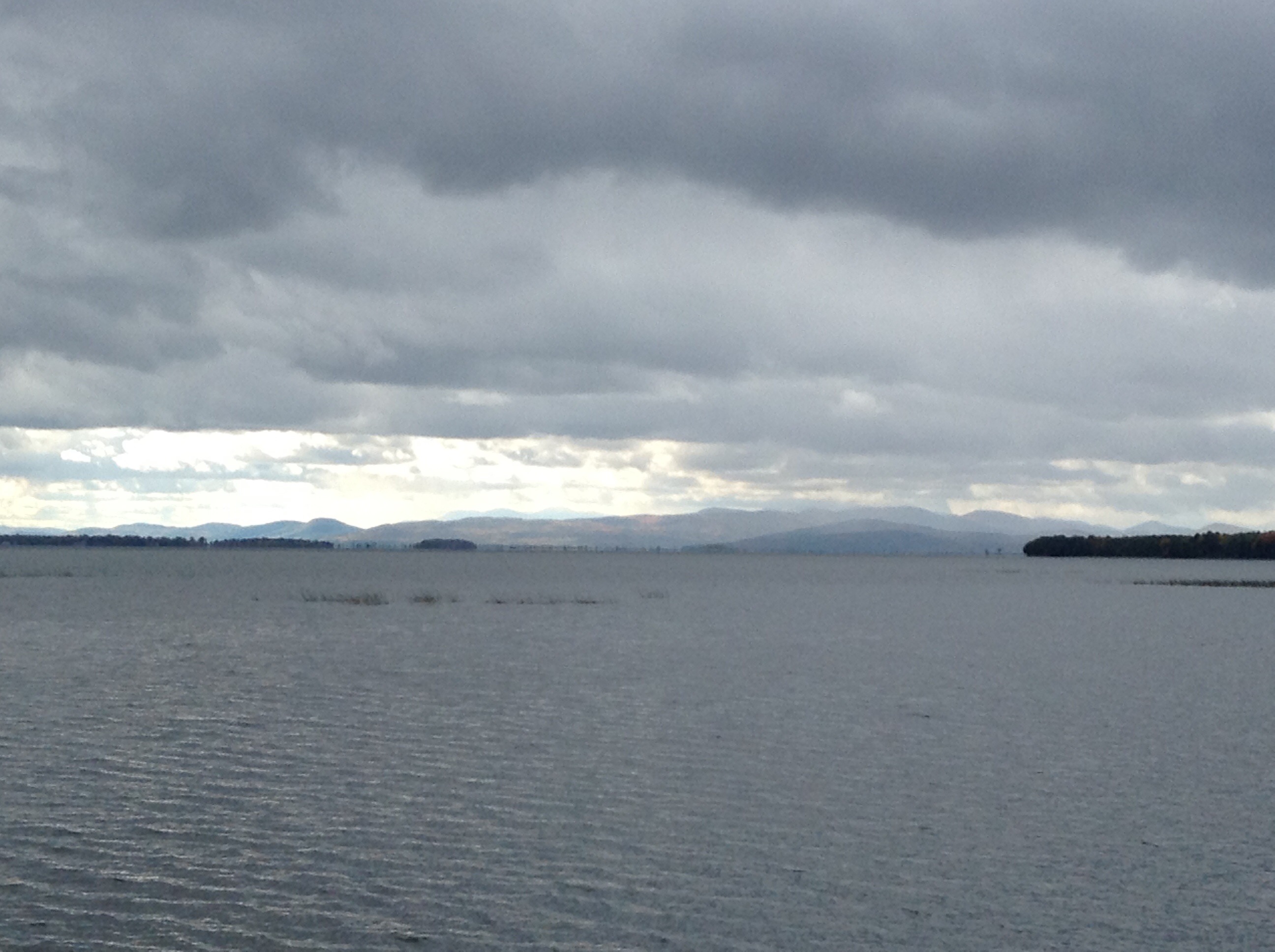
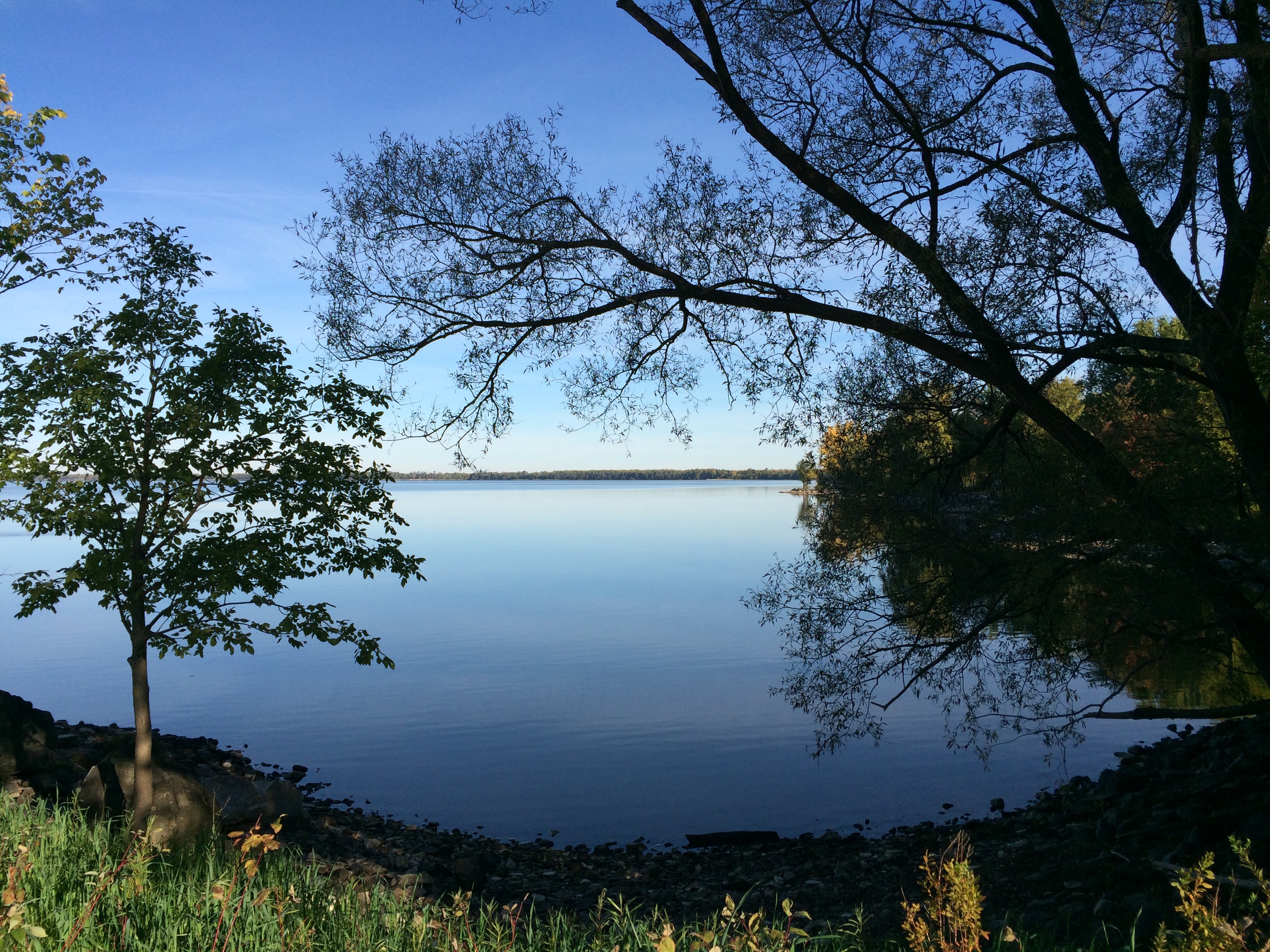
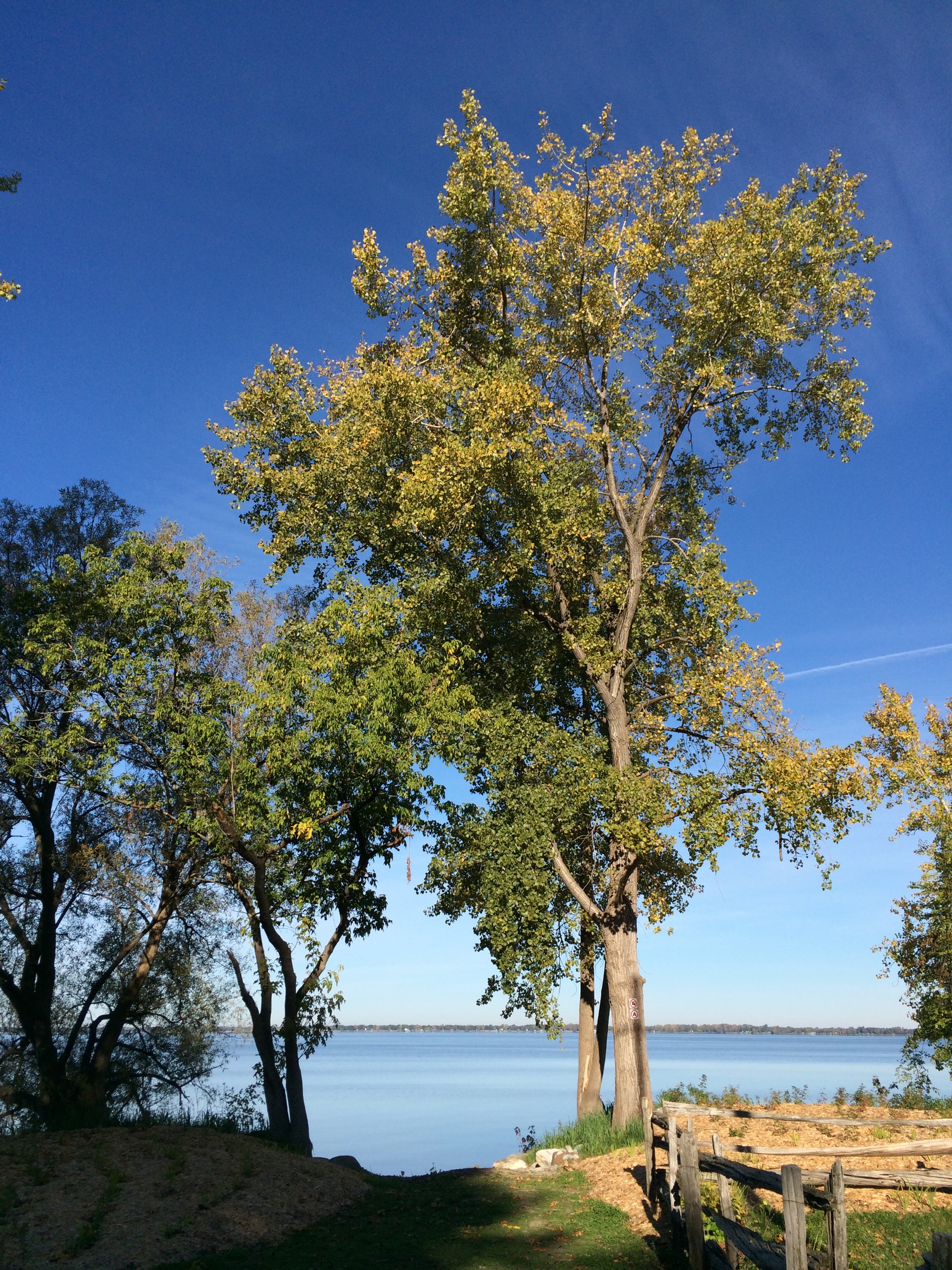
From this point, you can look west and see the shoreline of New York State and the Adirondack Mountains, and you can look east and see the Vermont shoreline and mountains in the distance. Further north, the lake crosses the Canadian border into Quebec.
It’s no surprise, then, that Isle La Motte, South Hero, Grand Isle, North Hero, Valcour and the remaining islands all served as important vantage points in battles between American and Canadian/British forces during the War of 1812.
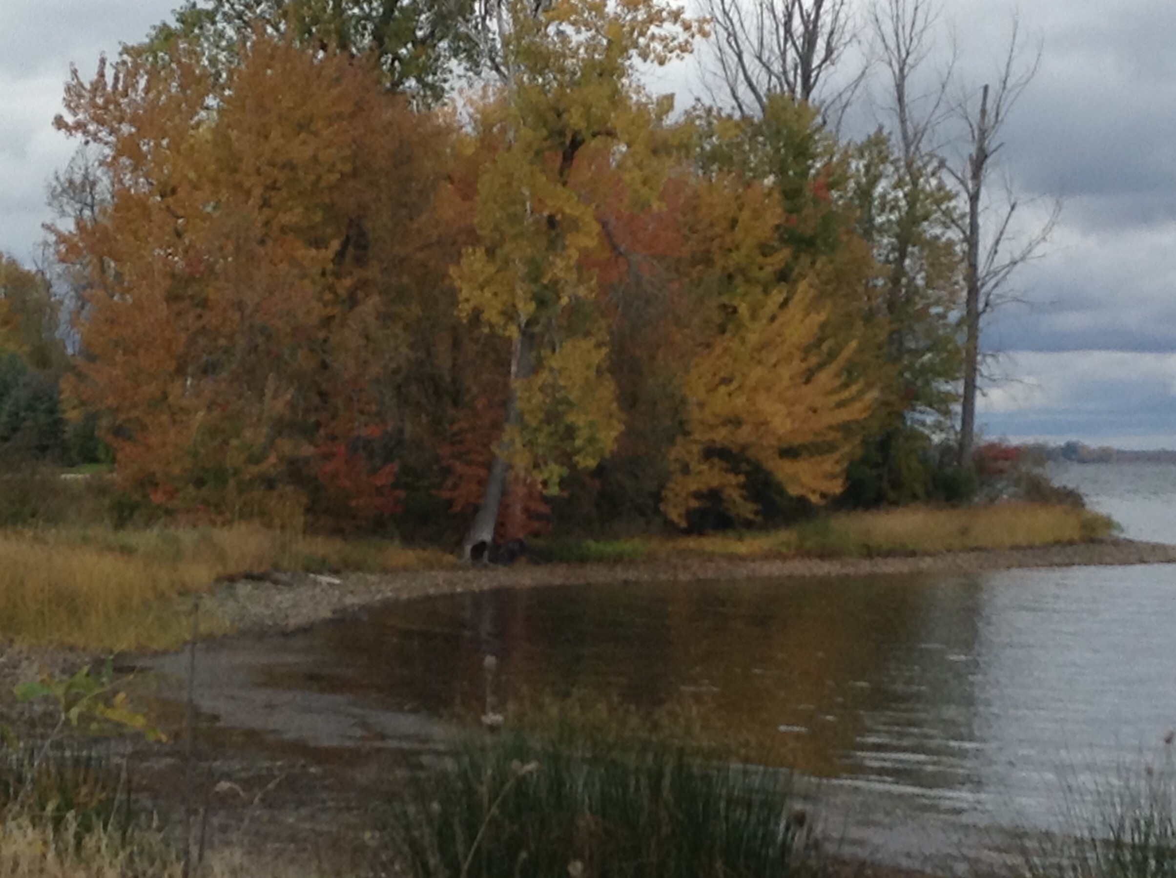
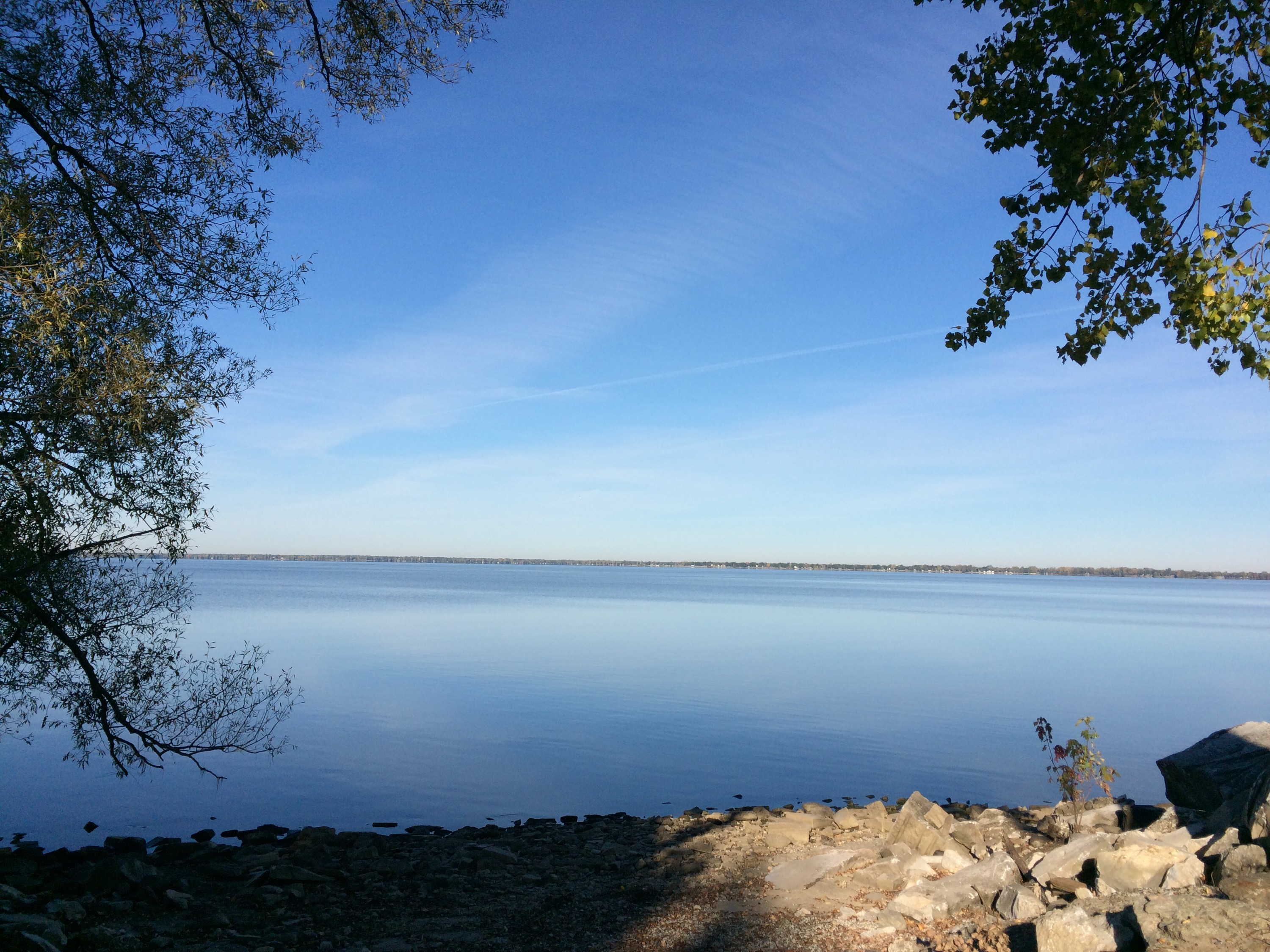
If for no other reason, the Islands are well worth a visit just because it’s a really pretty drive along the lake shore.
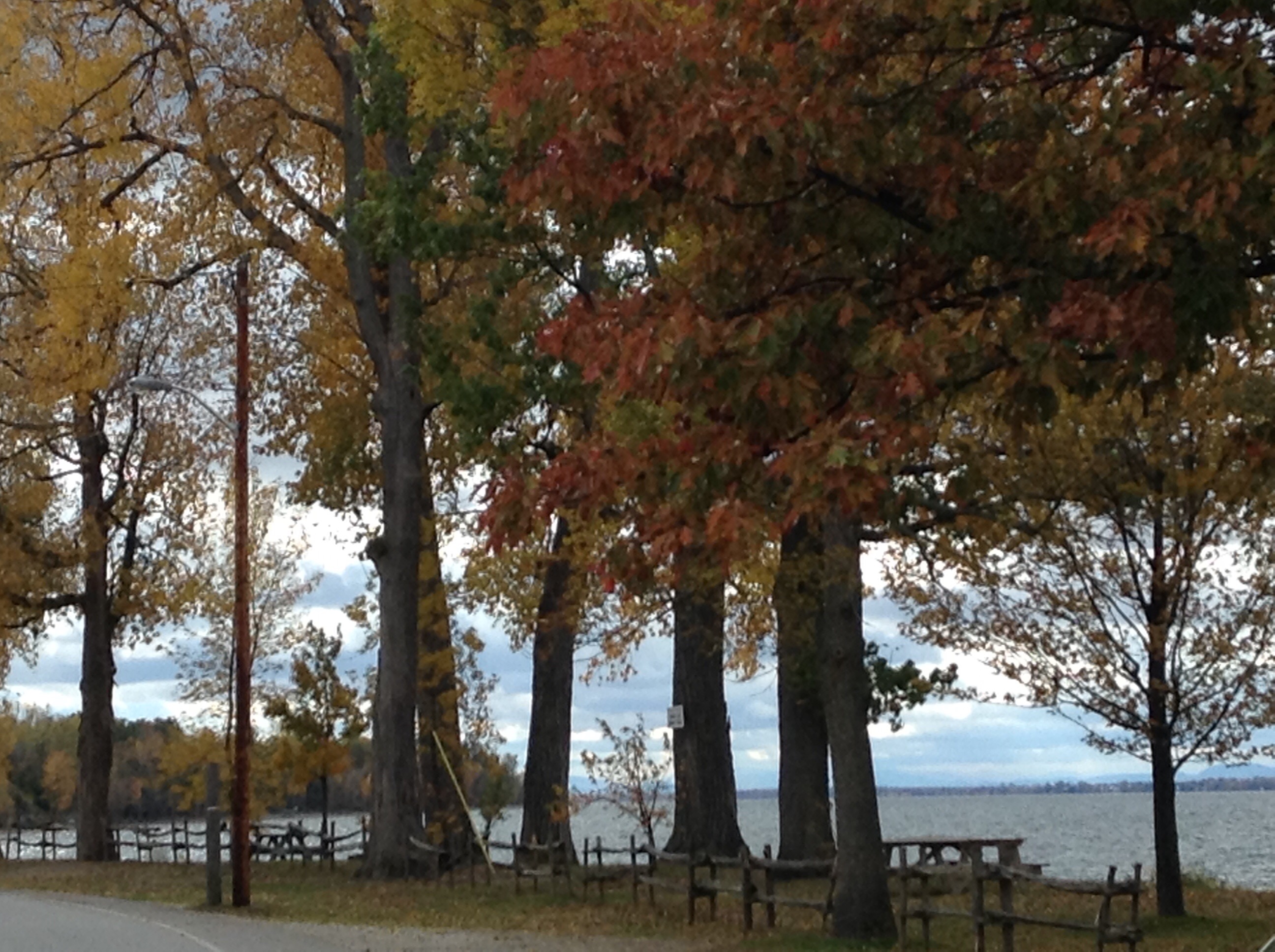
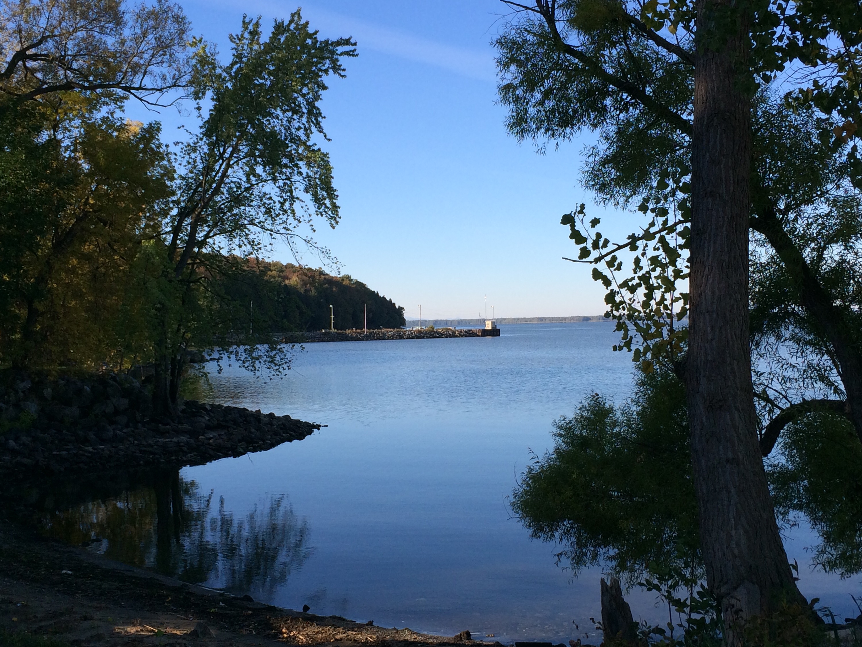
Lake Champlain is a long lake which has shores in Quebec, Canada, and Vermont and New York, USA.
It’s big, and it’s beautiful.
In the morning sun in Philipsburg, Quebec, the glassy water reflects the image so the trees and sky like a mirror. I could sit here and look at this for hours.
Later in the day, I saw that it’s just as pretty in St Albans, Vermont.
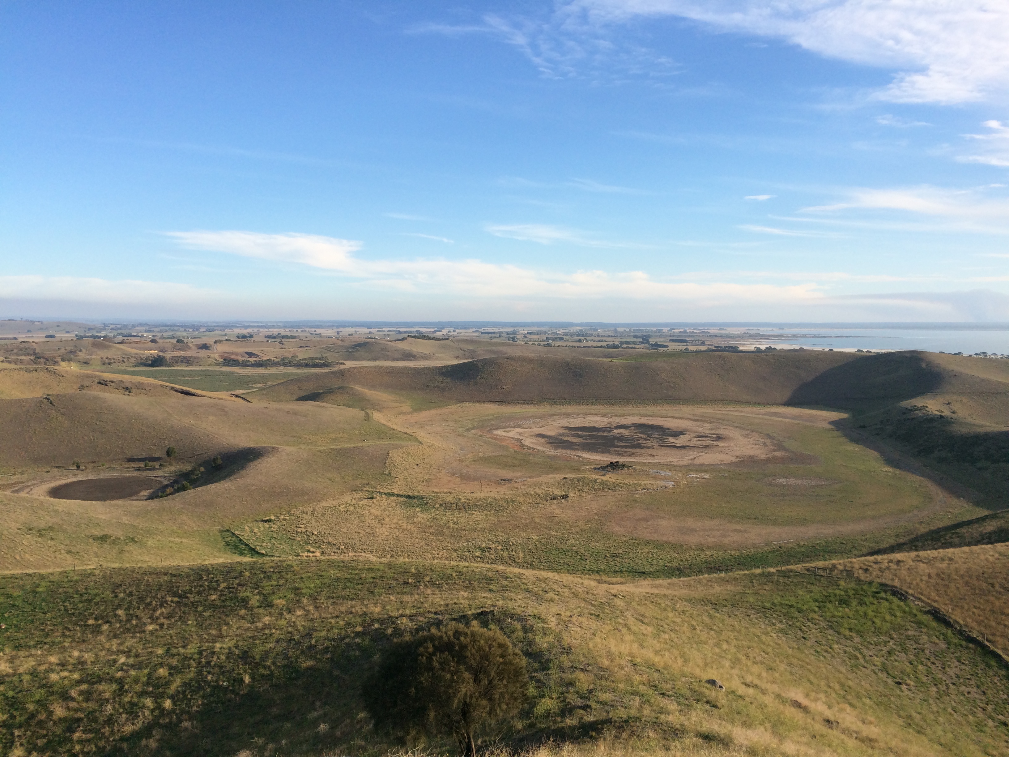
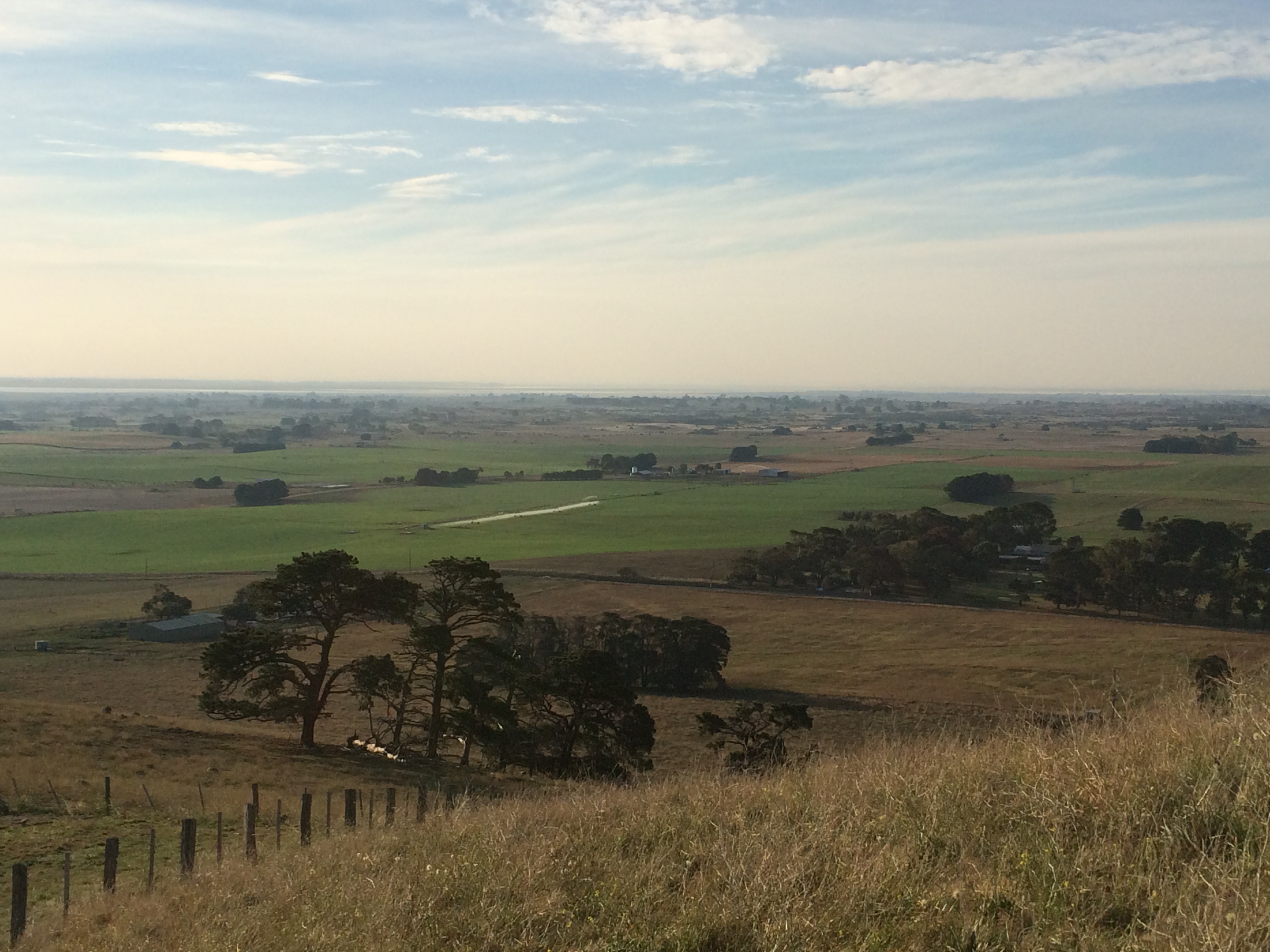
Red Rock is a dormant volcano near Alvie in western Victoria which offers spectacular views of lakes, craters and dramatic landforms that are the result of volcanic action over thousands of years. It is believed to be a younger volcano than others nearby such as Tower Hill near Warrnambool, Lake Purrumbete near Camperdown, and Mt Elephant at Derrinallum. The views from the lookout are breathtaking: craters, lakes, hills and folds that rise dramatically out of the earth, and a patchwork of farms that thrive on the rich volcanic soil.It’s no wonder they call this “Lakes and Craters Country”.

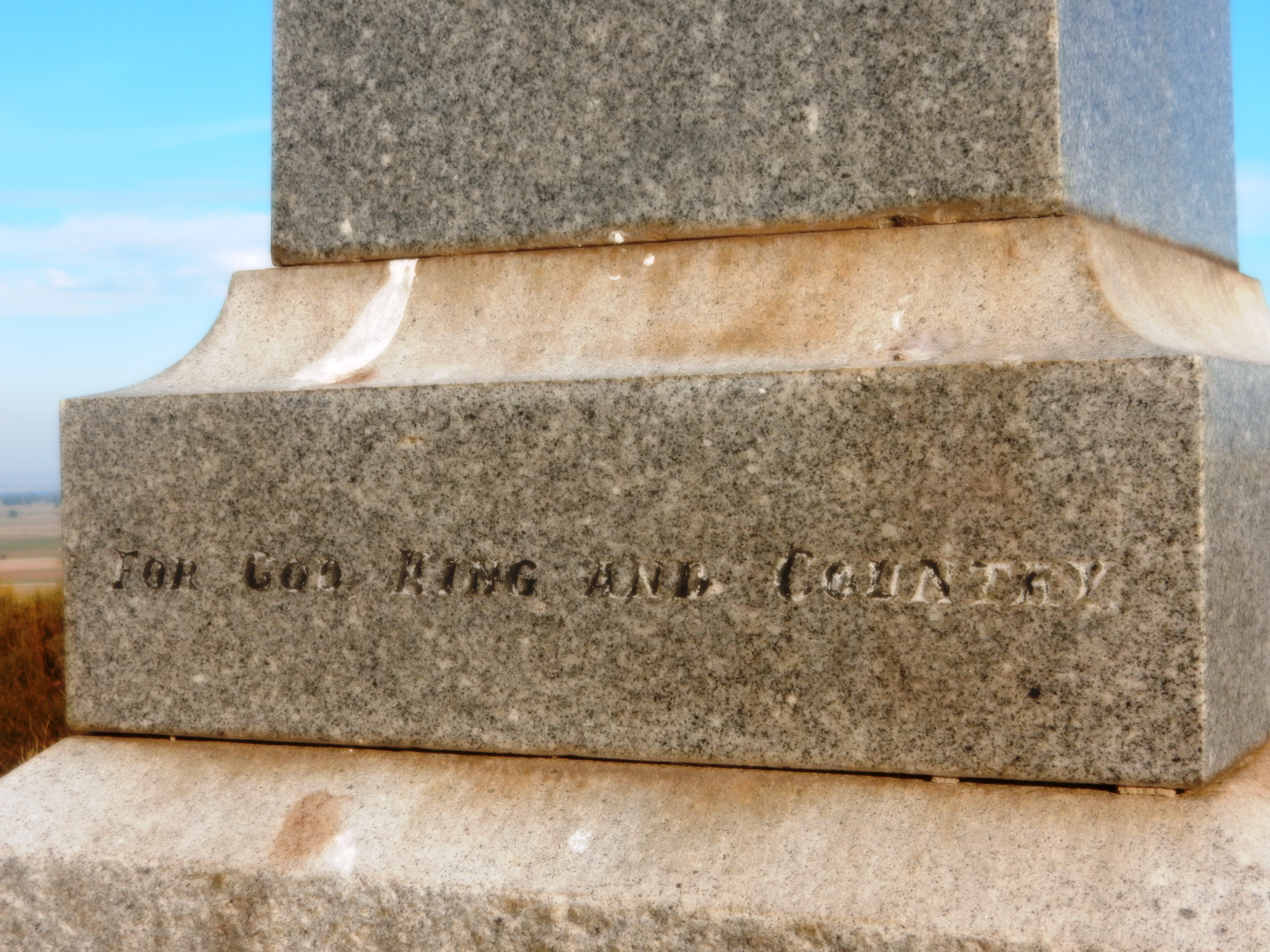
On Coragulac Hill near the peak of Red Rock, is the War Memorial for Alvie and Dreeite servicemen who fought “for God, King and Country” as stated on the stone memorial. As I stood and read the names, I was very aware of the fact that it was exactly 100 years ago that some of these men were fighting and dying for our freedom. I spent two minutes in silence and finished with “Lest We Forget”. It just seemed like the right thing to do.

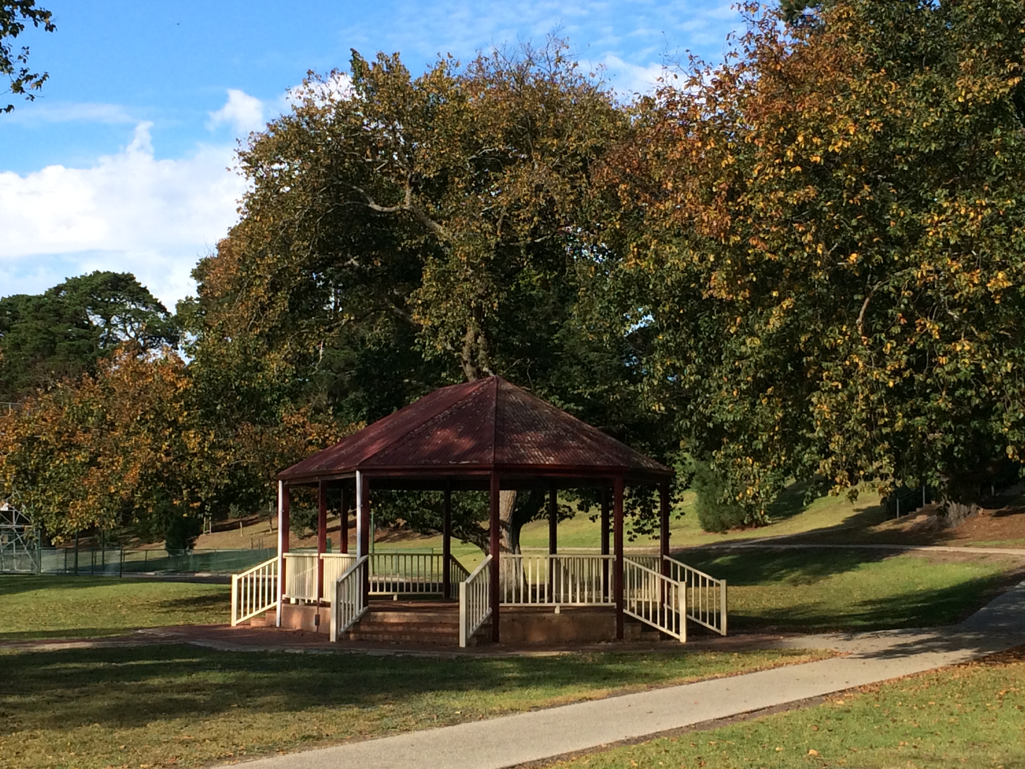
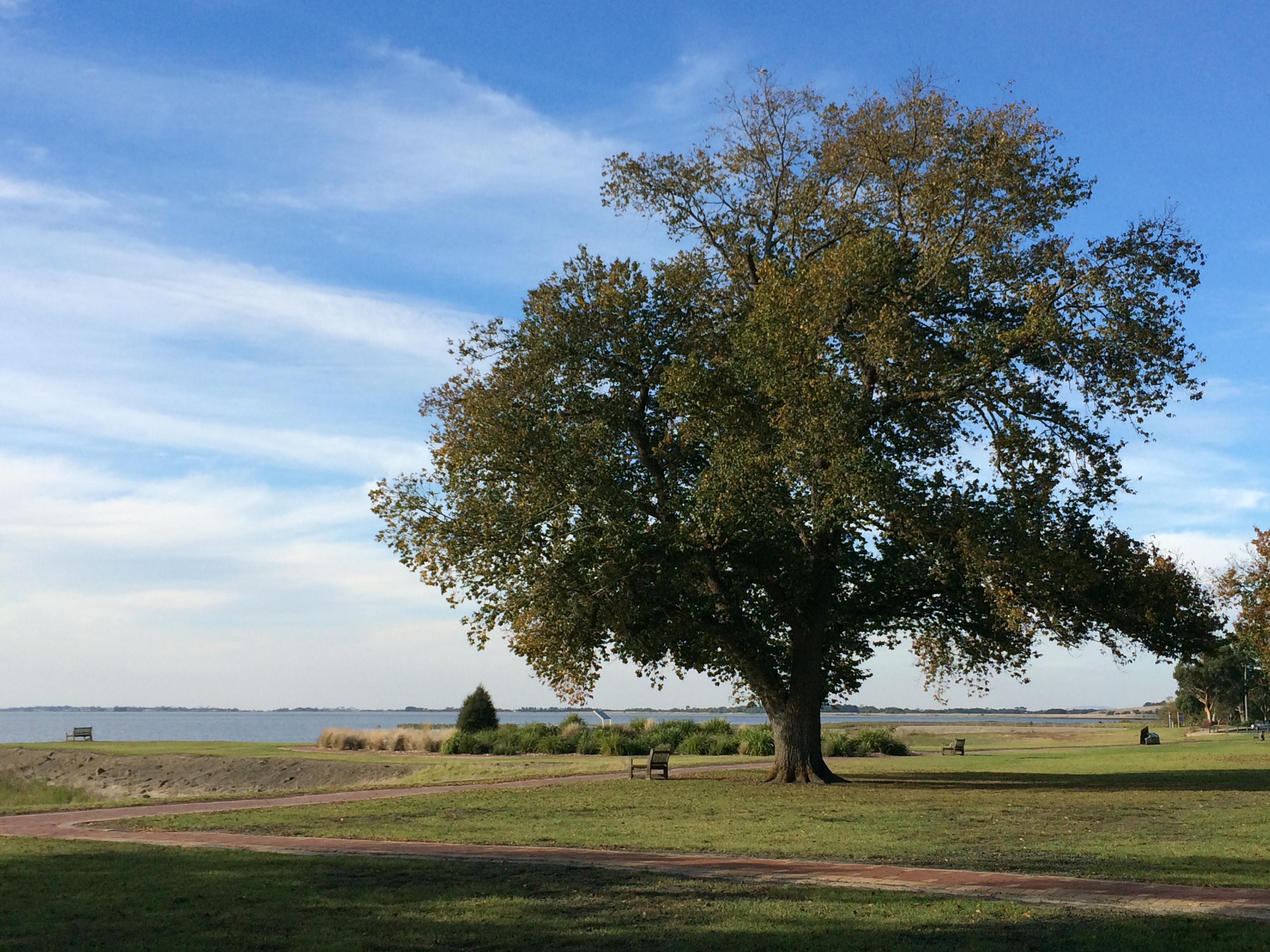
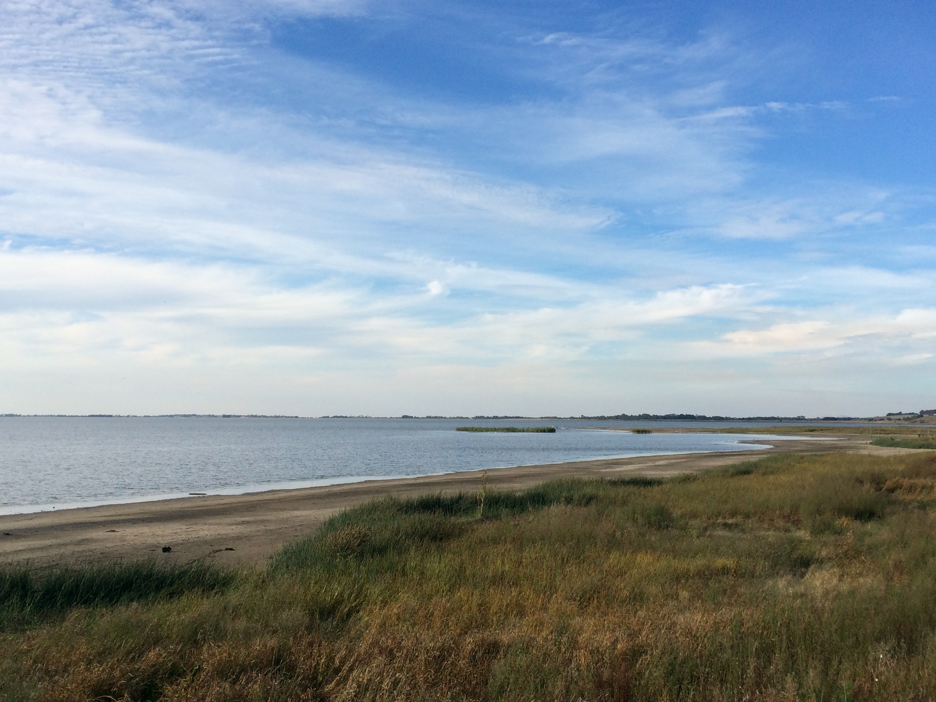
A path along the foreshore and up to the rotunda contains bricks engraved with dedications and messages from local people. This was definitely my favourite. 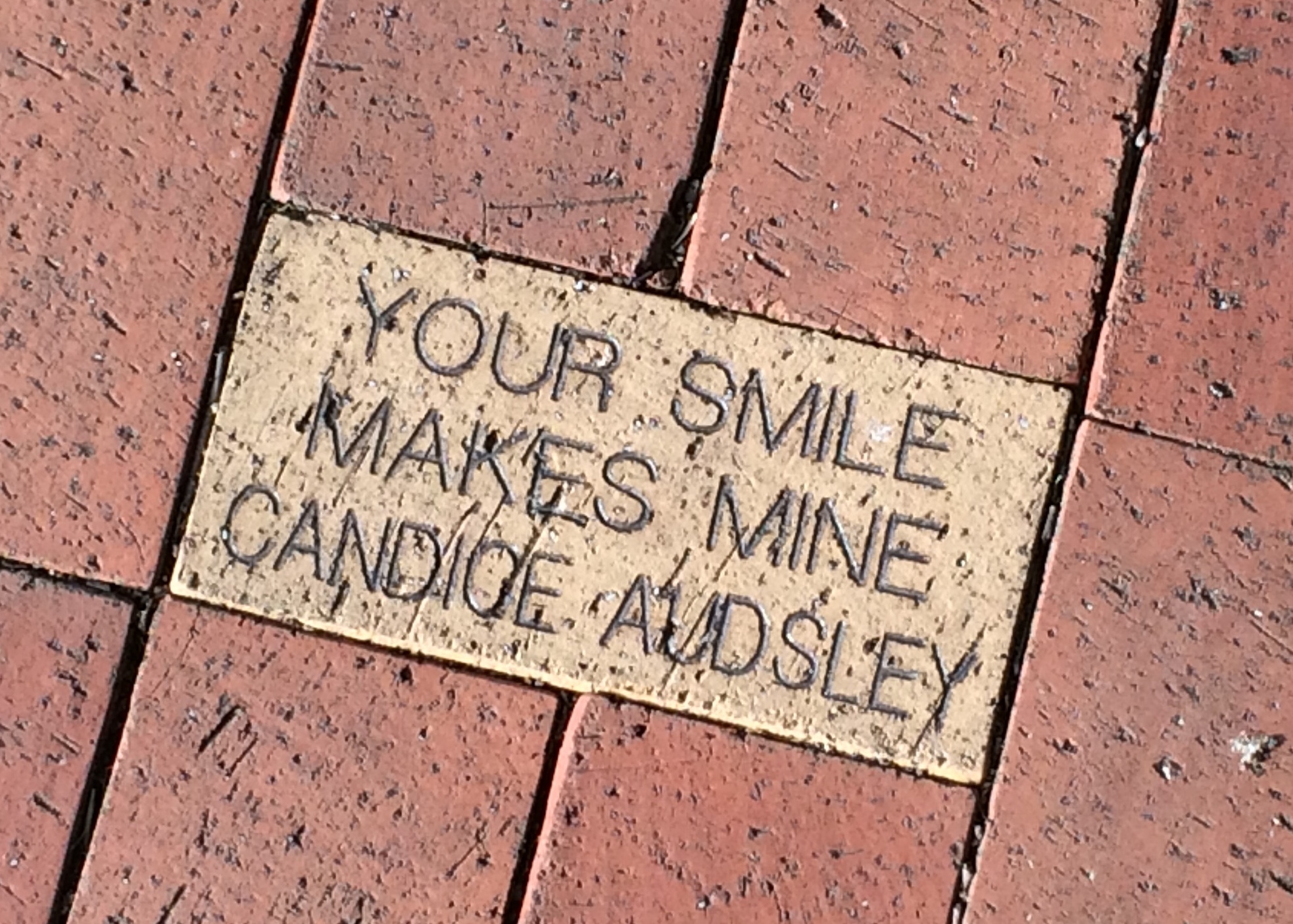
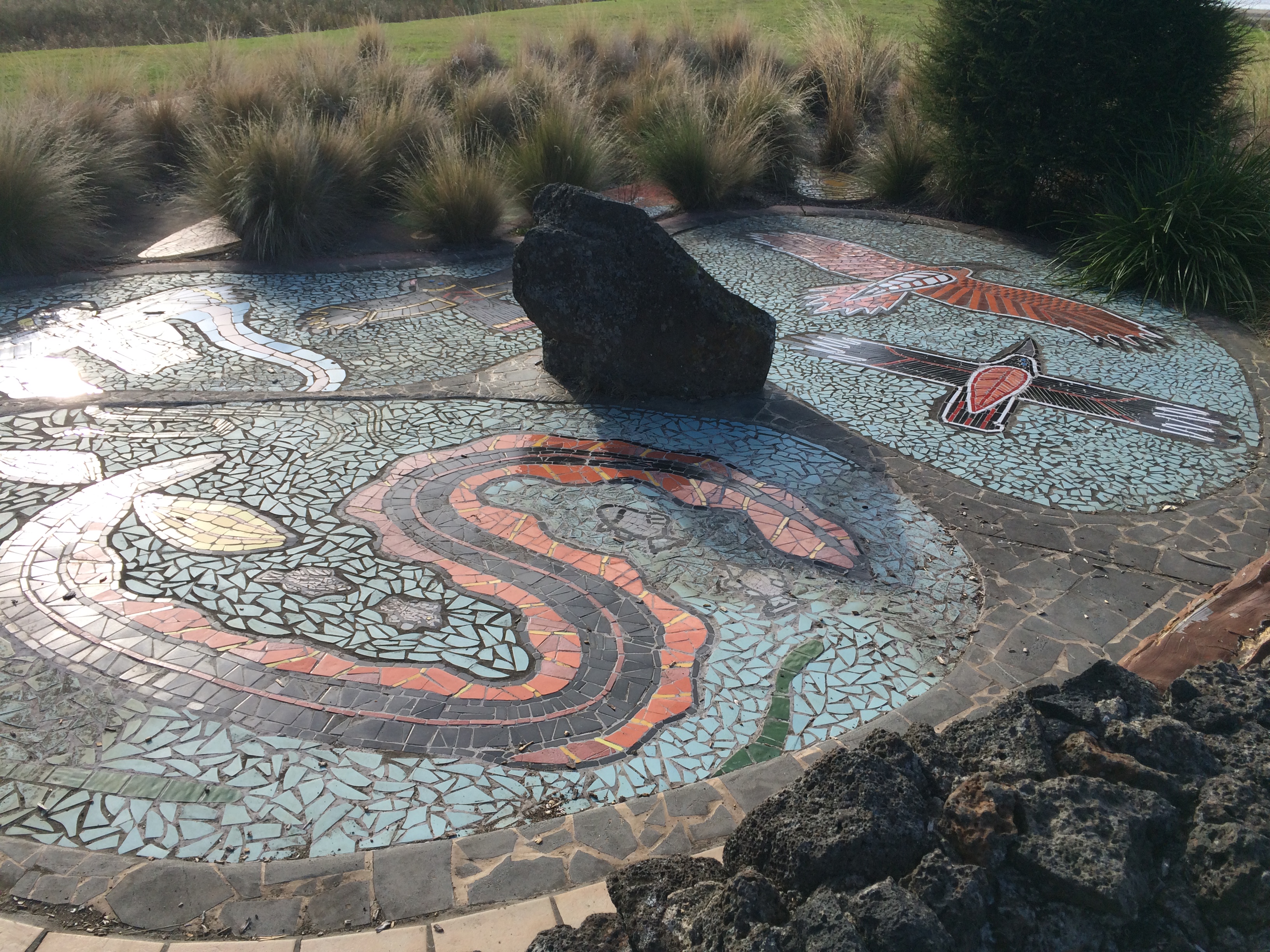
The artwork is in the shape the footpad of the Tachyglossus, a now-extinct relative of the echidna. It includes totems of the local Gulidjan/Kolacgnat tribe as well as a boomerang, a gum tree leaf and an outline of Red Rock, a dormant volcano visible on the other side of the lake. It is surrounded by native grasses and plants, and a stone wall that represents British settlement.
Lake Bullen Merri is a crater lake just south of Camperdown, Victoria.

You can drive all the way around the lake on local roads, but it is only the southern shore of the lake that is accessible to visitors. It’s popular for picnics, water skiing and boating.
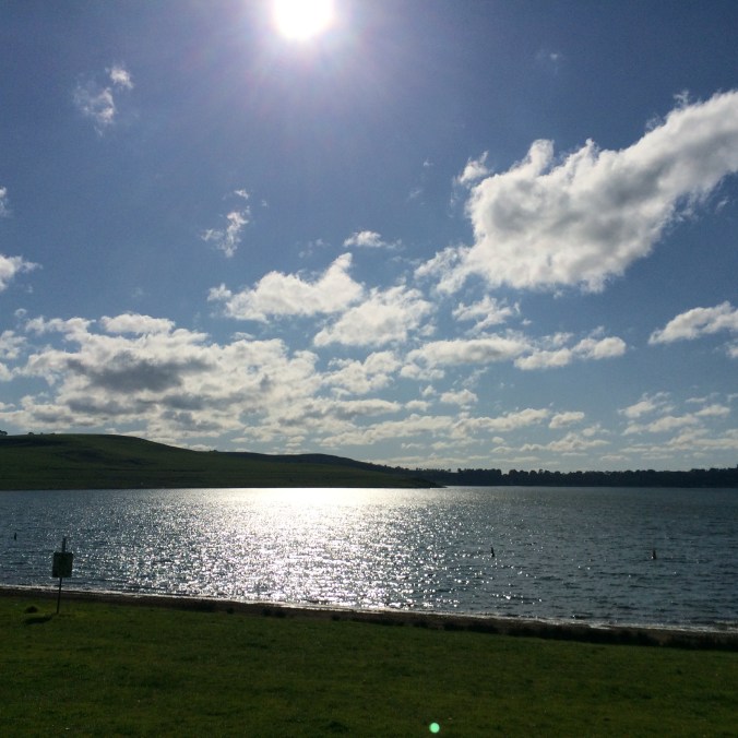
As the sun sets, the hills that surround the lake take on a golden glow, most distinctive in summer and autumn when the grass is dry.

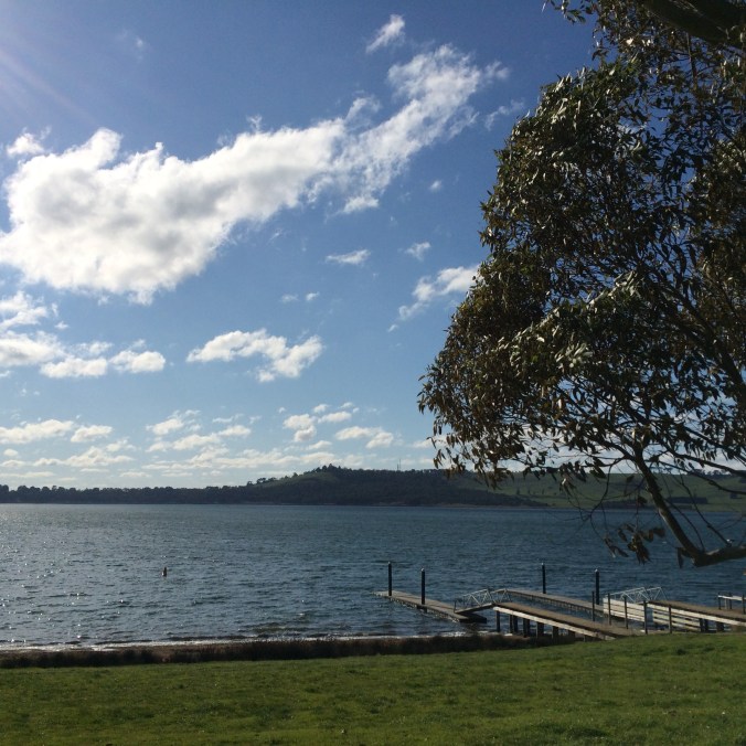
The area is renowned for lakes that have formed in the craters of dormant volcanoes. From the northern ridge of Lake Bullen Merri, you can also see Lake Gnotuk just a little further north, nestled in farmland just south of the township of Camperdown.


Blue Lake, Mt Gambier, SA
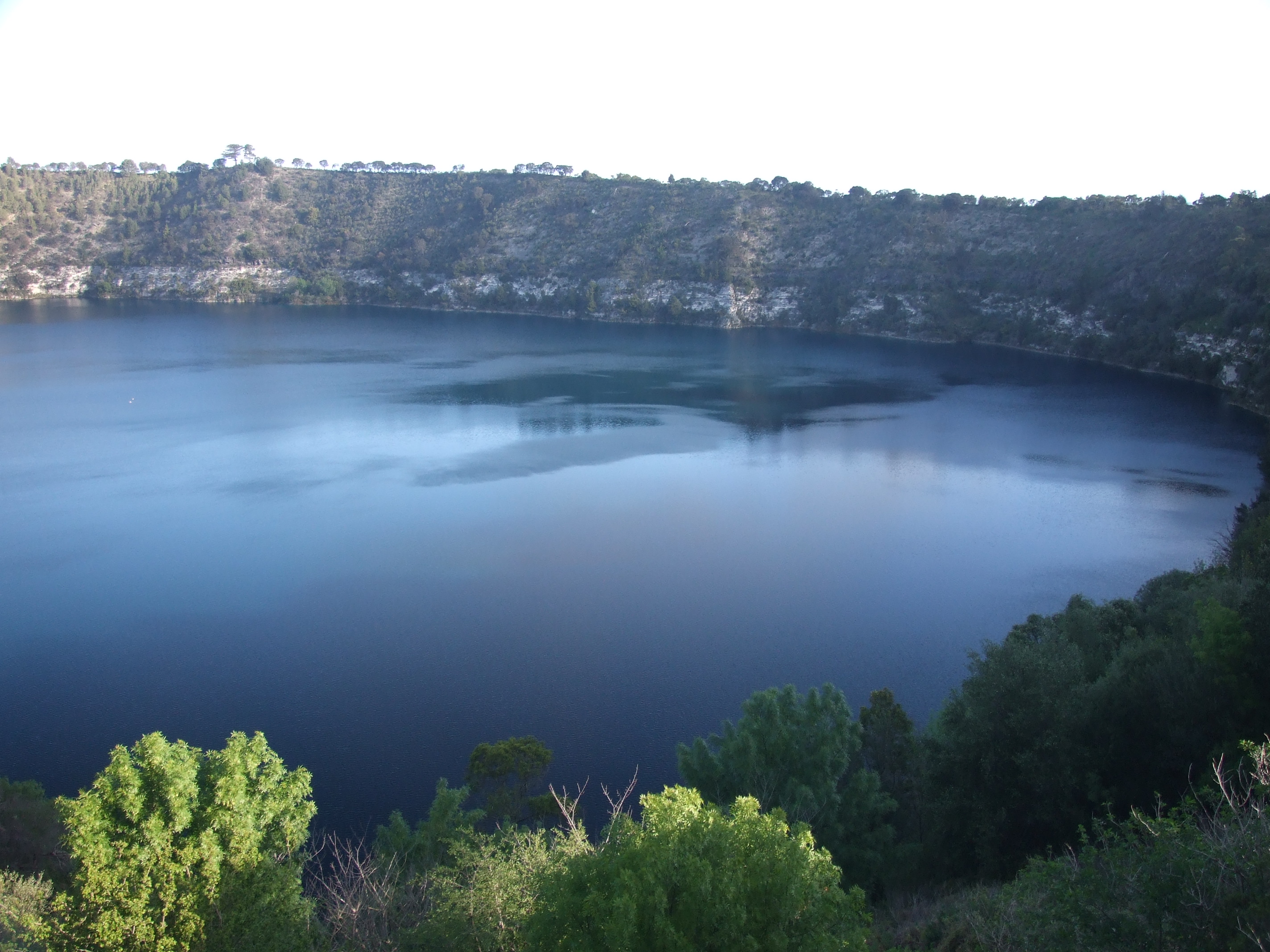
Blue Lake, Mt Gambier, SA
It’s really cool looking over the desert landscape of Arizona en route to LA. Dark rocky outcrops stand out among with the rich sandy tones of the plains. A large blue lake shimmers in contrast to the rocks and sand, while a ribbon of settlement and farms draws life from its water.
The Rocky Mountains extend north and south, the highest peaks still lightly dusted with snow. I can see where the snow is starting to melt and run down to meet the streams below.
I didn’t realise I was going to see these majestic mountains, and I feel so small but also so blessed at the same time.
The landscape flattens into a rich tapestry of pasture and agriculture, fed by streams and another bright blue lake. They give way to much more settled areas, networks of roads and then the suburbs of LA.
I would have taken pictures of all of that, but the window at my seat is too scratched to allow any photography. That’s a very great shame, because everything I saw was amazing.
